
File:6046Alaminos San Pablo, Laguna Boundary 58.jpg

Size of this preview: 800 × 600 pixels. Other resolutions: 320 × 240 pixels | 640 × 480 pixels | 1,024 × 768 pixels | 1,280 × 960 pixels | 2,560 × 1,920 pixels | 4,608 × 3,456 pixels.
Ing minunang simpan (file) (4,608 × 3,456 pixel, sukad ning simpan: 6.64 MB, MIME type: image/jpeg)
Sampulung (summary)
| Description |
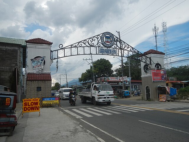
English: Alaminos, Laguna National Highway to List of barangays in Laguna (province) Barangay San Benito, Alaminos, Laguna 14.0569, 121.2805 Alaminos, Laguna bounded by Barangay San Nicolas, San Pablo, Laguna 14°4'0"N 121°17'31"E San Pablo, Laguna from Maharlika Highway (Santo Tomas, Batangas section) Pan-Philippine Highway N1 of the nation's Philippine highway network (Note: Judge Florentino Floro, the owner, to repeat, Donor Florentino Floro of all these photos hereby donate gratuitously, freely and unconditionally Judge Floro all these photos to and for Wikimedia Commons, exclusively, for public use of the public domain, and again without any condition whatsoever). |
| Petsa | |
| Pikuanan | Own work |
| Maki-akda | Judgefloro |
| Camera location | | View this and other nearby images on: OpenStreetMap |
|---|
San Benito, Alaminos, Laguna 14.0569, 121.2805
Pamamie lisensia
I, the copyright holder of this work, hereby publish it under the following license:
| This file is made available under the Creative Commons CC0 1.0 Universal Public Domain Dedication. | |
| The person who associated a work with this deed has dedicated the work to the public domain by waiving all of their rights to the work worldwide under copyright law, including all related and neighboring rights, to the extent allowed by law. You can copy, modify, distribute and perform the work, even for commercial purposes, all without asking permission.
|
Amlat ning simpan (File history)
Mag-click kang petsa/oras ba meng akit ing itsura ning simpan aniang panaun a ita.
| Petsa/Oras | Thumbnail | Sukad | Talagamit | Komentu/Puna | |
|---|---|---|---|---|---|
| salukuyan | 12:41, 11 Juliu 2019 | | 4,608 × 3,456 (6.64 MB) | Judgefloro | User created page with UploadWizard |
↓Suglung kareng simpan (''file links'')
Ing tutuking page links kaniting simpan (file):
Global file usage
The following other wikis use this file:
- Usage on ar.wikipedia.org
- Usage on bcl.wikipedia.org
- Usage on cbk-zam.wikipedia.org
- Usage on en.wikivoyage.org
- Usage on eo.wikipedia.org
- Usage on es.wikipedia.org
- Usage on fr.wikipedia.org
- Usage on id.wikipedia.org
- Usage on ilo.wikipedia.org
- Usage on it.wikipedia.org
- Usage on it.wikivoyage.org
- Usage on ms.wikipedia.org
- Usage on no.wikipedia.org
- Usage on pag.wikipedia.org
- Usage on pt.wikipedia.org
- Usage on tl.wikipedia.org
- Usage on tt.wikipedia.org
- Usage on uk.wikipedia.org
- Usage on www.wikidata.org