
File:Spain location map.svg

Size of this PNG preview of this SVG file: 699 × 600 pixels. Other resolutions: 280 × 240 pixels | 559 × 480 pixels | 895 × 768 pixels | 1,193 × 1,024 pixels | 2,387 × 2,048 pixels | 1,184 × 1,016 pixels.
Ing minunang simpan (file) (SVG file, masasabing 1,184 × 1,016 pixels, dagul ning simpan: 536 KB)
Sampulung (summary)
| Description |
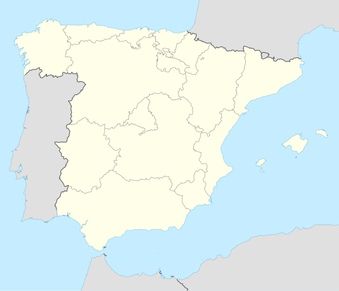
Deutsch: Positionskarte von Spanien
Quadratische Plattkarte, N-S-Streckung 130 %. Geographische Begrenzung der Karte:
English: Location map of Spain
Equirectangular projection, N/S stretching 130 %. Geographic limits of the map:
|
||
| Petsa | |||
| Pikuanan | Own work | ||
| Maki-akda | NordNordWest | ||
| Other versions |
Derivative works of this file: |
||
| SVG genesis | This locator map was created with Inkscape by NordNordWest.
|

Pamamie lisensia
I, the copyright holder of this work, hereby publish it under the following licenses:

|
Permission is granted to copy, distribute and/or modify this document under the terms of the GNU Free Documentation License, Version 1.2 or any later version published by the Free Software Foundation; with no Invariant Sections, no Front-Cover Texts, and no Back-Cover Texts. A copy of the license is included in the section entitled GNU Free Documentation License. |
This file is licensed under the Creative Commons Attribution-Share Alike 3.0 Unported license.
- You are free:
- to share – to copy, distribute and transmit the work
- to remix – to adapt the work
- Under the following conditions:
- attribution – You must give appropriate credit, provide a link to the license, and indicate if changes were made. You may do so in any reasonable manner, but not in any way that suggests the licensor endorses you or your use.
- share alike – If you remix, transform, or build upon the material, you must distribute your contributions under the same or compatible license as the original.
You may select the license of your choice.
Amlat ning simpan (File history)
Mag-click kang petsa/oras ba meng akit ing itsura ning simpan aniang panaun a ita.
| Petsa/Oras | Thumbnail | Sukad | Talagamit | Komentu/Puna | |
|---|---|---|---|---|---|
| salukuyan | 14:23, 7 Juliu 2008 | | 1,184 × 1,016 (536 KB) | NordNordWest | |
| 13:58, 4 Juliu 2008 |  | 1,184 × 1,016 (785 KB) | NordNordWest | corrected | |
| 13:54, 4 Juliu 2008 |  | 1,184 × 1,016 (791 KB) | NordNordWest | {{Information |Description= {{de|Positionskarte von Spanien}} Quadratische Plattkarte, N-S-Streckung 130 %. Geographische Begrenzung der Karte: * N: 44.4° N * S: 34.7° N * W: 9.9° W * O: 4.8° O {{en|Location map of Spain} |
↓Suglung kareng simpan (''file links'')
Ing tutuking page links kaniting simpan (file):
Global file usage
The following other wikis use this file:
- Usage on ace.wikipedia.org
- Usage on af.wikipedia.org
- Cadaqués
- Alt Empordà
- Almazán
- Ágreda
- San Leonardo de Yagüe
- Abejar
- Adradas
- Alconaba
- Alcubilla de las Peñas
- Aldealafuente
- Alcubilla de Avellaneda
- Aldealices
- Almajano
- Yelo
- Aldealpozo
- Aldealseñor
- Alentisque
- Aliud
- Almaluez
- Almarza
- Cubilla
- Covaleda
- Ciria
- Cigudosa
- Dévanos
- Cihuela
- Coscurita
- Barca
- Nepas
- Nolay
- Noviercas
- Liceras
- La Losilla
- Portillo de Soria
- Oncala
- Ólvega
- Rioseco de Soria
- La Riba de Escalote
- Renieblas
- Quintana Redonda
- Los Rábanos
- Recuerda
- Rebollar
- Almazul
- Baraona
- Blacos
- Calatañazor
- Candilichera
View more global usage of this file.