
File:Montana Map.jpg

Size of this preview: 783 × 599 pixels. Other resolutions: 314 × 240 pixels | 627 × 480 pixels | 1,004 × 768 pixels | 1,280 × 980 pixels | 1,526 × 1,168 pixels.
Ing minunang simpan (file) (1,526 × 1,168 pixel, sukad ning simpan: 627 KB, MIME type: image/jpeg)
Sampulung (summary)
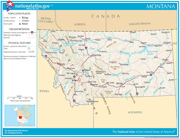
| Description | Map of Montana |
| Petsa | |
| Pikuanan | nationalatlas.gov |
| Maki-akda | US Department of Interior, US Geological Survey |
Pamamie lisensia
This image is in the public domain in the United States because it only contains materials that originally came from the United States Geological Survey, an agency of the United States Department of the Interior. For more information, see the official USGS copyright policy.
|
Amlat ning simpan (File history)
Mag-click kang petsa/oras ba meng akit ing itsura ning simpan aniang panaun a ita.
| Petsa/Oras | Thumbnail | Sukad | Talagamit | Komentu/Puna | |
|---|---|---|---|---|---|
| salukuyan | 06:04, 14 Disyembri 2007 | | 1,526 × 1,168 (627 KB) | Sagredo | {{Information |Description=Map of Montana |Source=nationalatlas.gov |Date=December 2007 |Author=US Department of Interior, US Geological Survey |Permission= |other_versions= }} |
↓Suglung kareng simpan (''file links'')
Ing tutuking page links kaniting simpan (file):
Global file usage
The following other wikis use this file:
- Usage on el.wikipedia.org
- Usage on en.wikipedia.org
- Usage on hr.wiktionary.org
- Usage on hu.wikipedia.org
- Usage on hy.wikipedia.org
- Usage on io.wikipedia.org
- Usage on it.wikipedia.org
- Usage on ja.wikipedia.org
- Usage on lt.wikipedia.org
- Usage on mn.wikipedia.org
- Usage on pap.wikipedia.org
- Usage on ru.wikipedia.org
- Usage on sah.wikipedia.org
- Usage on sh.wikipedia.org