
File:Philippines relief location map (square).svg

Size of this PNG preview of this SVG file: 600 × 600 pixels. Other resolutions: 240 × 240 pixels | 480 × 480 pixels | 768 × 768 pixels | 1,024 × 1,024 pixels | 2,048 × 2,048 pixels | 1,332 × 1,332 pixels.
Ing minunang simpan (file) (SVG file, masasabing 1,332 × 1,332 pixels, dagul ning simpan: 2.23 MB)
.svg)
Sampulung (summary)
| Description |
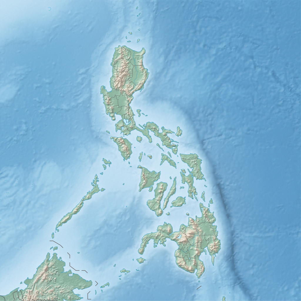
English: Physical location map of the Philippines
Equirectangular projection based on the parallel of 10°43' N
|
| Petsa | |
| Pikuanan | Own work |
| Maki-akda | Hellerick |
Pamamie lisensia
I, the copyright holder of this work, hereby publish it under the following license:
This file is licensed under the Creative Commons Attribution-Share Alike 3.0 Unported license.
- You are free:
- to share – to copy, distribute and transmit the work
- to remix – to adapt the work
- Under the following conditions:
- attribution – You must give appropriate credit, provide a link to the license, and indicate if changes were made. You may do so in any reasonable manner, but not in any way that suggests the licensor endorses you or your use.
- share alike – If you remix, transform, or build upon the material, you must distribute your contributions under the same or compatible license as the original.
Amlat ning simpan (File history)
Mag-click kang petsa/oras ba meng akit ing itsura ning simpan aniang panaun a ita.
| Petsa/Oras | Thumbnail | Sukad | Talagamit | Komentu/Puna | |
|---|---|---|---|---|---|
| salukuyan | 16:32, 16 Juniu 2013 | | 1,332 × 1,332 (2.23 MB) | Hellerick | User created page with UploadWizard |
↓Suglung kareng simpan (''file links'')
Ing tutuking 4 pages link kaniting simpan (file):
Global file usage
The following other wikis use this file:
- Usage on ar.wikipedia.org
- Usage on ast.wikipedia.org
- Usage on ban.wikipedia.org
- Usage on bcl.wikipedia.org
- Bukid Isarog
- Bulkan Mayon
- Golpo kan Albay
- Leyte (golpo)
- Salog Bikol
- Suba' nin San Miguel
- Module:Mapa nin kinamumugtakan/datos/Filipinas
- Module:Mapa nin kinamumugtakan/datos/Filipinas/doc
- Bukid Apo
- Suba' nin San Pedro (Filipinas)
- Linog sa Golpo nin Moro (1976)
- Golpo nin Moro
- Suba' nin Sibuguey
- Suba' nin Illana
- Itiot nin San Bernardino
- Bulkan Taal
- Bukid Masaraga
- Bukid Labo
- Linog sa Bisaya (2019)
- Kanlaon
- Dai pa napapangaran na bulkan (Ibugos)
- Bukid Guiting-Guiting
- Bahura nin Tubbataha
- Bukid Pinatubo
- Bukid Hamiguitan
- Danaw nin Venado
- Salog Loboc
- Salog Agos
- Bukid Iraya
- Salog Aklan
- Bukid Batulao
- Bukid Kalatungan
- Bukid Kitanglad
- Dam nin Wawa
- Golpo kan Ragay
- Aurora Memorial National Park
- Kambal na Danao nin Balinsasayao
- Natural na Parke nin Bongsanglay
- Natural na Parke nin Kalbario-Patapat
- Natural na parke nin Sibalom
- Aliguay
View more global usage of this file.
.svg)
.svg)